|
|
Return to
WildHiker.com
->
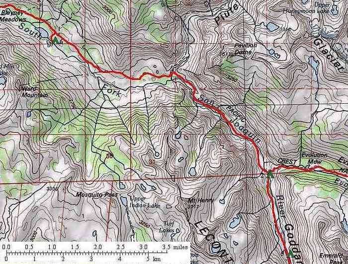
Evolution Valley - Goddard Canyon Backpack Aug 2004
|
|||||||||||||||||||
Evolution Valley - Goddard Canyon Backpack, August 2004
|
|||||||||||||||||||
|
|
Click on any small photo to see a larger one, or view them in order: Start Here. |
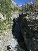 |
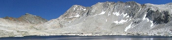
For five miles down Goddard Canyon from North Goddard Creek, the South Fork San Joaquin River is encased in a deep narrow gorge. We camp alone for the fifth night at one of only three locations where the river - and its water - can be accessed.
|
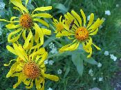 |
Flowers in Goddard Canyon.
|
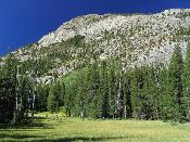 |
Meadow in Goddard Canyon just above the junction with Evolution Creek.
|
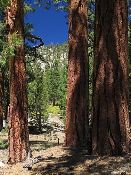 |
At Evolution Creek, we rejoin the John Muir Trail and see other hikers again as we retrace our steps back to Florence Lake. Here we enjoy red Jeffrey Pines below Piute Creek.
|
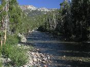 |
Our sixth and last camp is along the South Fork San Joaquin River just across from Blayney Hot Springs. When we arrive in early afternoon, there are few people here.
|
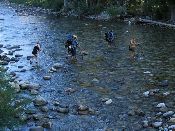 |
By late afternoon, a steady procession of hikers is fording the South Fork San Joaquin River to reach the hot springs. Some camp on the far side.
|
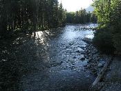 |
Evening light on the South Fork San Joaquin River.
|
| Previous Day | Back to trip main page | On to the seventh day |