|
|
Return to
WildHiker.com
->
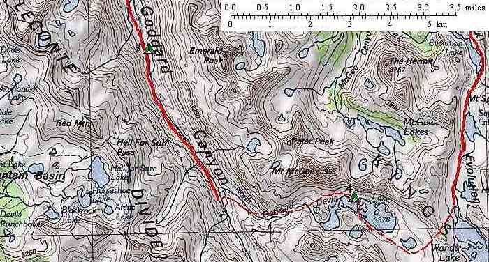
Evolution Valley - Goddard Canyon Backpack Aug 2004
|
|||||||||||||||||||||||
Evolution Valley - Goddard Canyon Backpack, August 2004
|
|||||||||||||||||||||||
|
|
Click on any small photo to see a larger one, or view them in order: Start Here. |
 |
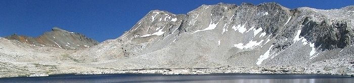
Morning light shows our fourth night campsite on the pristine and deserted north shore of Davis Lake.
|
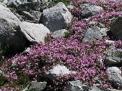 |
Mountain heather grows among the boulders below Davis Lake.
|
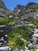 |
Flower lined North Goddard Creek below Davis Lake.
|
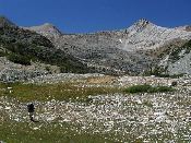 |
Karen descends the open meadowy slopes along North Goddard Creek below Davis Lake. View is west across Goddard Canyon to the LeConte Divide.
|
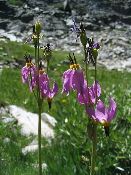 |
Alpine Shooting Stars along North Goddard Creek.
|
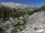 |
North Goddard Creek enters a gorge as it descends into Goddard Canyon. Our route alternated from one side of the gorge to the other, eventually descending slopes on the west side into Goddard Canyon. The LeConte Divide rises beyond to the northwest.
|
 |
When we reach the bottom of Goddard Canyon, we ford the South Fork San Joaquin River and pick up the trail heading downstream (north).
|
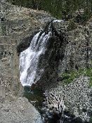 |
Waterfall on the South Fork San Joaquin River in Goddard Canyon.
|
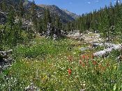 |
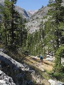
Paintbrush and other flowers along the trail, looking north down Goddard Canyon.
|
| Previous Day | Back to trip main page | On to the sixth day |